Lesson 2: Reading the Map
"Every symbol on the map is something you can see and touch"
| Time | 70 minutes |
| Space | Schoolyard, local park, or forested area with an orienteering map |
| Materials | Orienteering maps (1 per student or pair), Checkpoints (orienteering flags, streamers, or cones), Punch cards or index cards, Pencils, A planned route through varied features, Scorecards and pencils |
| Setup | Plan a walking route through varied features; place Score-O checkpoints around the area |
| Vocabulary | Feature, Orient the map, Score-O |
Activities
core
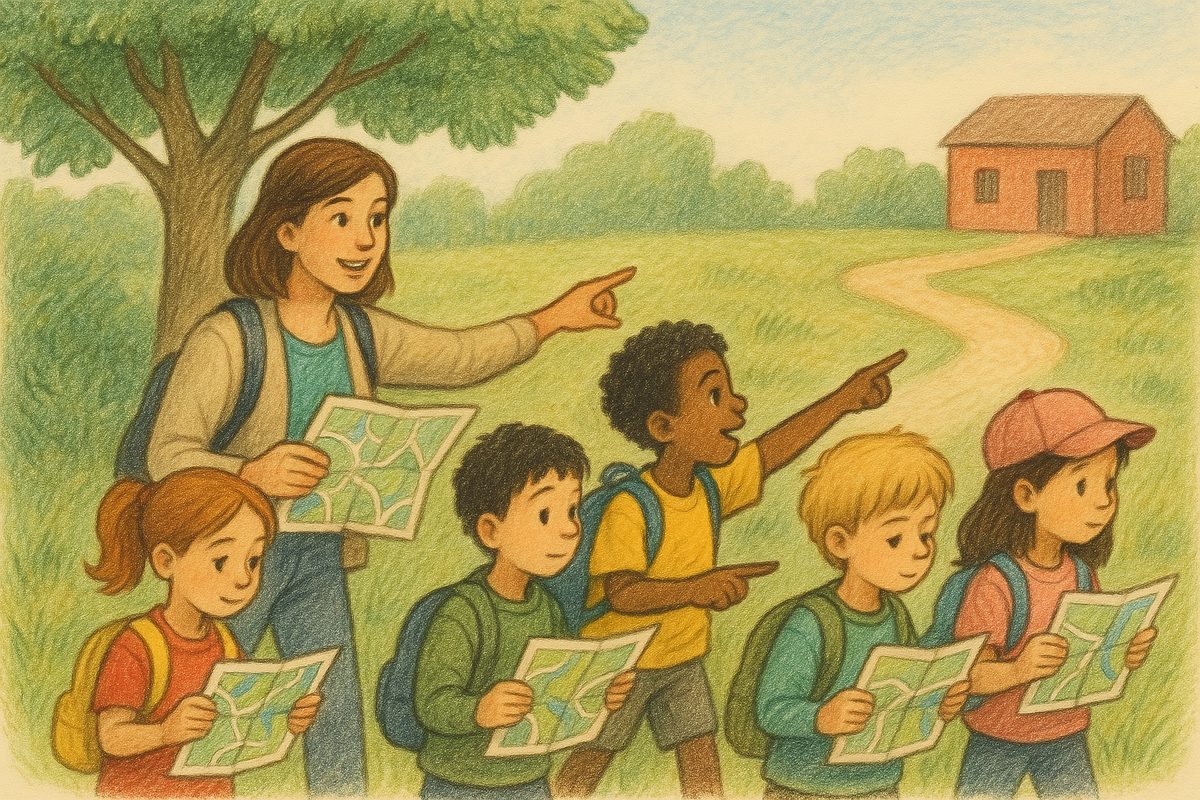
Map Walk
Walk a route together, matching map symbols to real features.
core
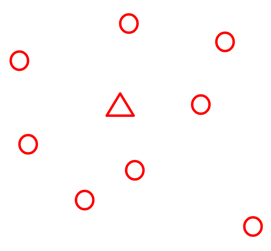
Score-O
Find as many checkpoints as you can in the time limit.
Goals
Orienteering Goals
- Read an orienteering map and follow a route on it
- Orient the map using visible features
- Match map symbols to real features in the terrain
- Navigate independently to find checkpoints
- Build confidence that the map accurately represents the space
Delivery
- Safety review (5 min): quick reminder of boundaries and gathering signal. Introduce the buddy system rule for Score-O: pairs stay within earshot. Review time management: if you hear the signal, come back right away, even if you have not finished.
- Symbol recap (5 min): quick review of map symbols from Session 1. Hold up the map and quiz campers on a few symbols. Point to features around you and ask what symbol represents them.
- Map Walk (20 min): walk a planned route together. At each stop, students orient their maps, identify the feature they are standing at, and find it on the map. Use the thumb technique: keep your thumb on your current location.
- Transition (5 min): hand out Score-O maps and punch cards. Explain the rules: visit as many checkpoints as you can before the time limit, recording codes at each one. You do not have to go in order. Demonstrate the pin punch: show what the flags look like, how to line up the punch, and what the mark looks like on the card. Emphasize accuracy over speed: finding one checkpoint correctly is a success. Some campers will find all of them, others might find two, and that is fine. The goal is reading the map, not racing. For this first Score-O, keep checkpoints relatively close to the starting area so campers build confidence before tackling a larger course.
- Score-O (25 min): pairs navigate independently, using what they learned on the Map Walk to read the map and find checkpoints. Remind them to orient the map and use the thumb technique.
- Scoring and wrap-up (10 min): score punch cards, discuss results, and celebrate. Who found the most? Which checkpoint was hardest to find?
Reflection
- Which map symbols were easiest to remember from the Map Walk? Which were hardest?
- How did you keep track of where you were on the map during Score-O?
- What strategies helped you find checkpoints faster?
- How is navigating on your own different from following the group?
Extensions
- Clothespin-O: pairs take turns hiding a clothespin or streamer in the terrain, then giving verbal directions or drawing the location on a blank map for their partner to find. Builds spatial language (north/south, left of the building, near the fence) and bridges between the Map Discussion and independent navigation
- Photo Map Walk: take photos of features and match them to symbols back at camp
- Score-O with more checkpoints or a larger area
- Individual Score-O instead of pairs