Lesson 2: Map Reading
"Every color, shape, and line on the map means something you can see and touch"
| Time | 45-60 minutes |
| Space | Schoolyard or local park with an orienteering map |
| Materials | Orienteering maps, Symbol reference cards or legend handouts, Checkpoint markers with letter codes, Checkpoints (with animal pictures), 4 colored cones (red, blue, green, yellow), Small whiteboard and markers (or paper), A planned route through varied features, Map key (legend) poster or handout, Symbol-O clue sheets, Map legend (poster or handout), 2 sets of symbol cards (one per team), 2 sets of text cards (one per team) |
| Setup | Choose a route through the space with varied features; place checkpoints at features that correspond to distinct symbols |
| Vocabulary | Symbol, Legend, Feature, Orient the map, Thumbing |
Activities
warm-up
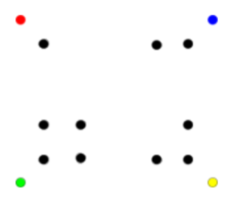
Geometric-O
Warm up: quick Geometric-O course to review map skills.
core
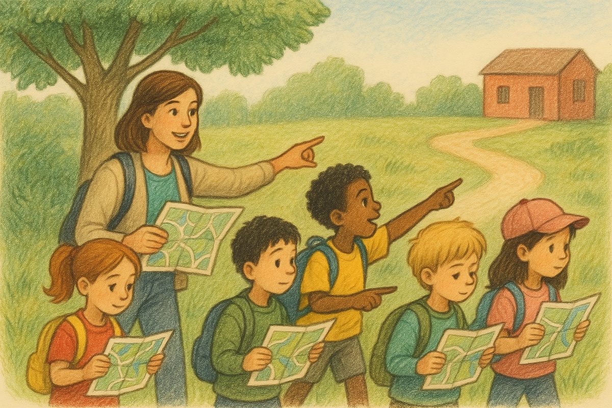
Map Walk
Walk a route together, matching map symbols to real features.
core
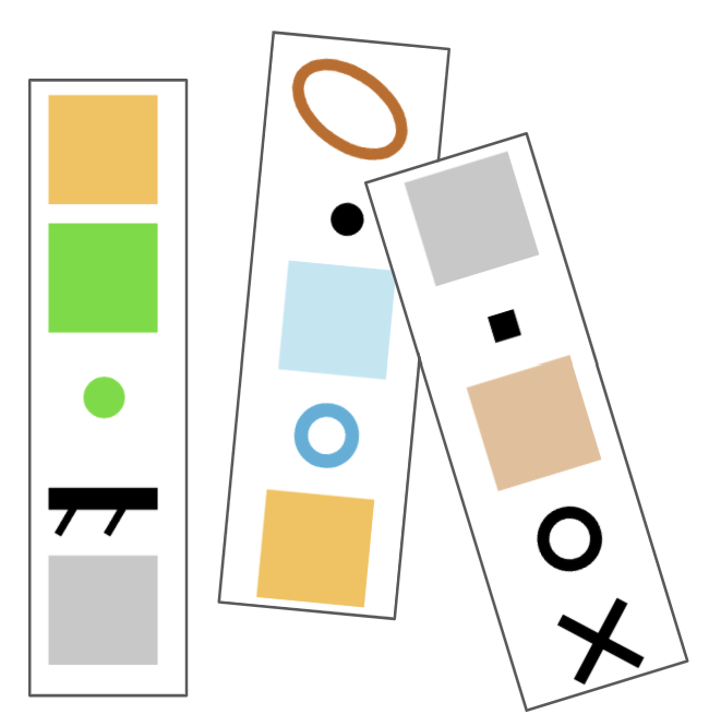
Symbol-O
Find checkpoints by matching map symbols to real features.
variation
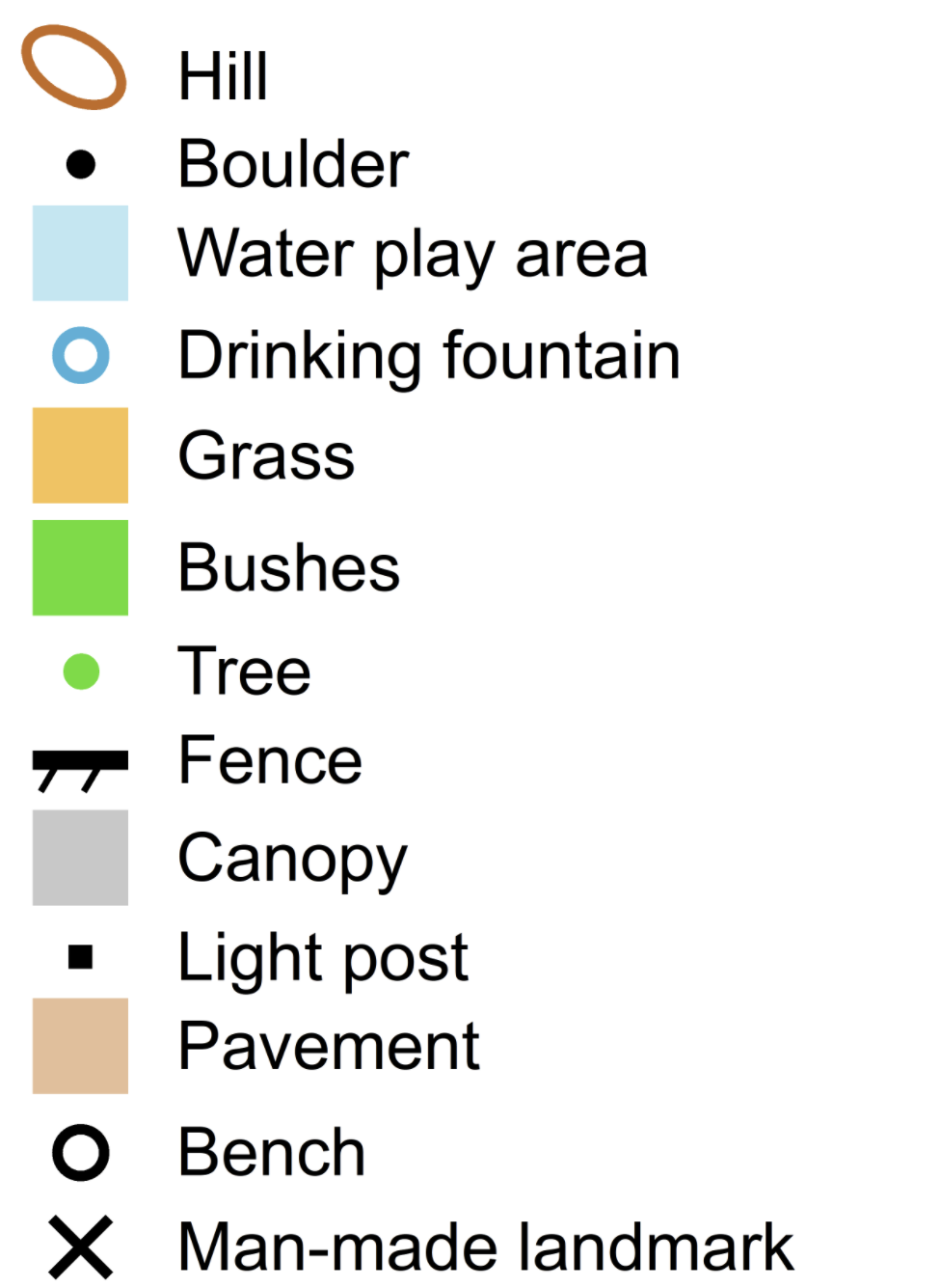
Symbol Relay
Team relay to learn map symbols competitively.
Goals
Orienteering Goals
- Identify basic orienteering map symbols (path, building, fence, tree, open ground, water)
- Use the legend to decode unfamiliar symbols
- Match symbols on the map to features on the ground
- Walk a route while keeping the map oriented
- Track your position on the map as you move ("thumbing")
PE Standards (SHAPE America)
Standard 1: Motor Skills
- Demonstrates correct technique in a variety of outdoor activities (1.8.1). Students run between checkpoints and change direction while navigating Symbol-O courses.
Standard 2: Movement & Fitness Concepts
- Identifies the effective use of movement concepts within multiple dynamic environments (2.8.1). Students orient maps, thumb their position, and use symbols to navigate during Map Walk and Symbol-O.
- Demonstrates problem-solving skills in a variety of games and activities (2.8.7). Students match map symbols to terrain features and use the legend to decode unfamiliar symbols.
- Demonstrates knowledge of safety protocols in teacher-selected outdoor activities (2.8.21). Students learn to stay within boundaries, keep maps oriented, and check in at the gathering signal.
Standard 3: Social Skills
- Uses communication skills to negotiate strategies and tactics in a physical activity setting (3.8.3). Partners discuss symbol identification and negotiate route choices during Symbol-O.
- Implements and provides constructive feedback to and from others (3.8.4). Partners verify each other's checkpoint visits and discuss whether map symbols matched the features.
See PE Standards alignment for the full framework.
Delivery
- Geometric-O warm-up: one quick course to get moving and review map orientation
- Map introduction: gather students with orienteering maps
- Compare the orienteering map to the pattern maps from Lesson 1
- Point to a nearby feature (a path, a building, a tree) and find its symbol on the map
- Orient the map so symbols line up with real features
- Introduce the legend
- Teach thumbing: hold the map with your thumb on your current location; move your thumb as you move
- Map Walk: walk a route as a group
- Teacher leads; students follow on their maps
- Stop at each feature: "What symbol is this on your map? Point to where we are."
- Students practice thumbing and keeping the map oriented as the group turns corners
- Symbol-O: in pairs, find checkpoints placed at features that match specific symbols
- Start with 3-4 easy symbols (path, building, fence)
- Add harder symbols (vegetation boundaries, small features)
- Students self-check using the animal picture at each checkpoint. 🧭 Checking
- Symbol Relay (if time): teams race to match symbols to features
Reflection
- Which symbols were easiest to recognize? Which were hardest?
- How is the orienteering map different from the pattern maps?
- What helped you keep track of where you were on the map?
- When you turned a corner, what did you have to do with your map?
- What is thumbing and why does it help?
Extensions
- Walk a new route; students lead and narrate what they see on the map
- Students create their own symbol quiz for a partner
- Identify features visible from one spot and find all of them on the map
- Introduce cardinal directions (north, south, east, west) and compass orientation