Lesson 1: From Clues to Maps
"You already know how to explore. Now let's navigate."
| Time | 45-60 minutes |
| Space | Schoolyard or local park with an orienteering map |
| Materials | Animal-picture checkpoints, Clue sheets, Checkpoints with animals and numbers in a geometric pattern, 4 colored landmark cones, Pattern maps, Whiteboard and markers (or paper), Cones (optional, for marking boundaries), Whistle, flag, or other gathering signal |
| Setup | Set up animal checkpoints in a geometric pattern with colored landmark cones at corners. Have clue sheets and pattern maps ready. |
| Vocabulary | Boundary, Checkpoint, Gathering signal, Start, Clue sheet, Orient the map, Landmark |
Activities
warm-up
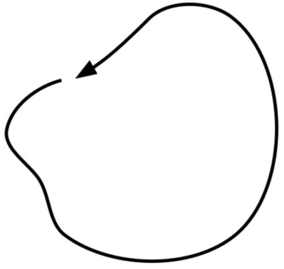
Boundary Run
Run the boundary together. Quick warm-up.
warm-up
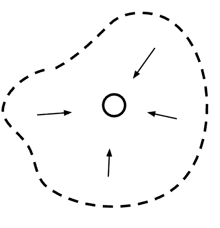
Gathering
Return to the Start on the teacher's signal.
core
Animal-O
Use clue sheets to find checkpoints in order. Brief intro.

core
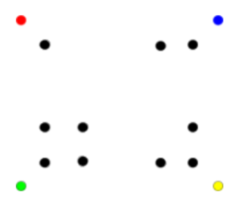
Geometric-O
Orient a simple map and visit checkpoints in order.
Goals
Orienteering Goals
- Identify the boundary, the Start, and the gathering signal
- Use a clue sheet to find checkpoints in order
- Confirm the correct checkpoint at each location
- Orient a map using landmarks
- Read a simple map and connect it to the physical space
- Complete progressively harder map courses
PE Standards (SHAPE America)
Standard 1: Motor Skills
- Demonstrates correct technique in a variety of outdoor activities (1.8.1). Students run and change direction efficiently while navigating between checkpoints during Animal-O and Geometric-O.
Standard 2: Movement & Fitness Concepts
- Identifies the effective use of movement concepts within multiple dynamic environments (2.8.1). Students orient maps and use spatial reasoning to match pattern maps to checkpoint locations.
- Demonstrates problem-solving skills in a variety of games and activities (2.8.7). Students solve spatial puzzles during Geometric-O, matching map patterns to real positions in the field.
Standard 3: Social Skills
- Uses communication skills to negotiate strategies and tactics in a physical activity setting (3.8.3). Partners discuss map orientation and negotiate navigation strategies during Geometric-O.
- Recognizes and implements safe and appropriate behaviors during physical activity (3.8.7). Students stay within the boundary and respond to the gathering signal during all activities.
See PE Standards alignment for the full framework.
Delivery
- Boundary Run: run the boundary together. Point out key landmarks, off-limits areas, the Start. Older students move through this quickly.
- Gathering: students spread out; return to the Start on the signal. Do two rounds. Establish the expectation that everyone comes back.
- Animal-O: hand out clue sheets. Students find checkpoints in order, confirm the animal at each one. Start with a 5-animal clue sheet, advance to 10-animal sheets. Keep this brief (10-15 minutes). The point is to establish the format: clue sheet, sequence, confirm.
- Transition to maps: gather students facing the geometric layout. Show the whiteboard map. Ask what the dots represent. Rotate it until it's oriented. Spatial questions: "Which checkpoint is closest to the red cone?"
- Geometric-O: pairs receive maps and progress through levels. Partner verifies with the animal clue sheet. Advance to 10-checkpoint maps. Repeat for speed, then from memory.
Pacing note: Older students can move from boundary to Animal-O to Geometric-O in a single session. If the group is experienced or picks up quickly, spend less time on Animal-O and more on Geometric-O progression.
Reflection
- What was different about navigating with a map versus a clue sheet?
- How did you know your map was oriented correctly?
- What mistakes did you make? How did you fix them?
- How did you and your partner work together?
Extensions
- Remove the colored landmark cones for harder map orientation
- Word Bank Orienteering: guide a partner using only approved spatial words
- Napkin-O: cover animal pictures with napkins; communicate with other pairs to finish
- Have students design their own course on a blank map